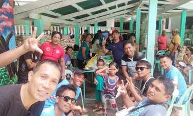
August 30, 2023, Maasim, Leyte Province
BAP Maasim Municipal Chapter just celebrated its first anniversary as a regular member of the Basketball Association of the Philippines (BAP) since 2022.
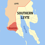
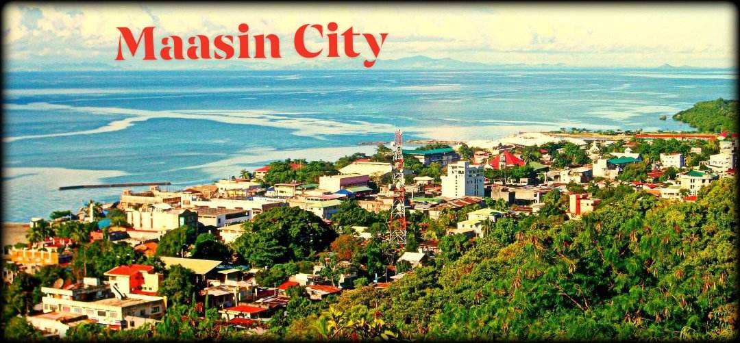
Maasin, officially the City of Maasin (Cebuano: Dakbayan sa Maasin; Waray: Syudad han Maasin, Filipino: Lungsod ng Maasin), is a 4th class component city and capital of the province of Southern Leyte, Philippines. According to the 2020 census, it has a population of 87,446 people.
It has 70 barangays and is located in the western part of the province with a land area of 21,171 hectares (52,310 acres).
History:
In 1521, a Portuguese-born Spanish explorer and navigator, Ferdinand Magellan and his crew came ashore and celebrated the first Roman Catholic Mass on the island. Magellan made peace with two Filipino rulers, Rajah Kolambu and Rajah Siani who subsequently were converted to Christianity. A marker notes the spot on Limasawa where their blood compact of friendship and alliance was sealed.
For centuries, Southern Leyte was an integral part of the island of Leyte. During the Spanish period, the region was sparsely populated. Continued Moro slave raiding discouraged the establishment and stabilization of other large towns. In the 19th century, immigration from the provinces of Cebu and Bohol increased the population of the region and opened the land to farming.
gcl
Be informed that all BAP appointments for 2022 will be re-evaluated once again, subject to counsel and re-appointment from December 2022 to January 2023. For your kind information.
Maasin, officially the City of Maasin is a 4th class component city and capital of the province of Southern Leyte, Philippines. According to the 2020 census, it has a population of 87,446 people.
It has 70 barangays and is located in the western part of the province with a land area of 21,171 hectares (52,310 acres).
Maasin City is the commercial and religious center of Southern Leyte and the southwestern part of Leyte Island. On August 10, 2000, Maasin was converted into a city. The Diocese of Maasin was founded on August 14, 1968.
BAP-R8 BAP-R8 BAP-R8 BAP-R8 BAP-R8 BAP-R8 BAP-R8 BAP-R8 BAP-R8 BAP-R8 BAP-R8 BAP-R8 BAP-R8
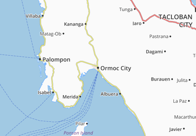
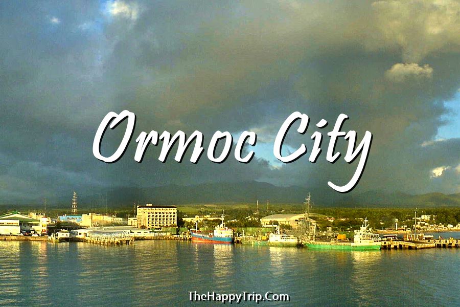
It consists of six provinces, one independent city and one highly urbanized city namely, Biliran, Eastern Samar, Leyte, Northern Samar, Samar, Southern Leyte, Ormoc City and Tacloban.
1. Arnel Comendador, Municipal Commissioner, Maasin, Southern Leyte
2. Carlo C. Muyot, Provincial Director, San Jose, Northern Samar
3. Lyndon Umapas Garcia, Provincial Commissioner, Leyte-Leyte Province
4. DAPULAG, TEODORO C. , Municipal Commissioner, Mondragon, Northern Samar
5. DE SILVA, NILO E. , Municipal Commissioner, Catarman, Northern Samar
6. Flaviano "Ivan" C. Centino Jr., Provincial Director, Leyte Province
Six (6) Provinces are:
Biliran
Eastern Samar
Leyte
Northern Samar
Southern Leyte
Samar

Tacloban City, Leyte Province

BAP @ 86
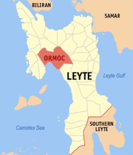
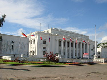
Leyte (also Northern Leyte; Filipino: Hilagang Leyte) is a province of the Philippines located in the Eastern Visayas region. Its capital isTacloban City and occupies the northern three-quarters of the Leyte Island. Leyte is located west of Samar Island, north of Southern Leyte and south of Biliran. To the west of Leyte across the Camotes Sea is Cebu Province.
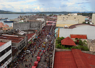
Tacloban (English: /təkˈloʊbɒn/ tək-loh-bahn; Waray-Waray and Tagalog: [tɐkˈloban]) officially the City of Tacloban(Waray-Waray: Syudad han Tacloban, Tagalog: Lungsod ng Tacloban), is the capital and seat of government of the Region of Eastern Visayas (Region VIII). It is approximately 360 miles (580 km) southeast of Manila. It was the first city in Region VIII to become a "Highly Urbanized City" and is the largest city in terms of population in Eastern Visayas. It is also the regional center of the Eastern Visayas, being the main gateway by air to the region. Tacloban was briefly the capital of the Philippines, from 20 October 1944 to 27 February 1945.
On 8 November 2013, the city was largely destroyed by Super Typhoon Yolanda (Haiyan), having previously suffered similar destruction and loss of life in 1897 and 1912.
|
Brief History of Leyte Province: Battle of Leyte
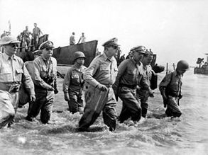
Main article: Battle of Leyte Gulf The Battle of Leyte Gulf took place in the seas surrounding this island from 23 October to 26 October 1944. It was the largest naval battle in modern history, when at least 212 Allied ships clashed with the remnants of the Imperial Japanese Navy, some 60 ships, including the super battleships Yamato and Musashi. The First Battle of Leyte occurred on 20 October 1944. A successful Allied invasion of the island was the crucial element to the eventual Filipino and American victory in the Philippines. |
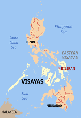
Biliran (Cebuano: Lalawigan sa Biliran; Filipino: Lalawigan ng Biliran), is an island province in the Philippines located in the Eastern Visayas region (Region VIII). Biliran is one of the country's smallest and newest provinces. Formerly a sub-province of Leyte, it became an independent province in 1992. Biliran lies less than a kilometer north of Leyte Island. A bridge-causeway fixed link over Poro Island, connects the province to Leyte. Its capital is the Municipality of Naval on the western coast of the island.
The province is composed of two major volcanic islands; Biliran Island and Maripipi Island. Other islands include Higatangan, and Dalutan Island (inhabited).
Climate: Biliran has a combination of warm and cool climatic zones, thus the prevailing climate is ideal for the cultivation of a wide range of agricultural crops. There is no distinct dry season but the heavy wet season generally occurs in December.
Political Subdivision: Biliran is subdivided into 8 municipalities, with a total of 132 barangays. All the municipalities except Maripipi are located on Biliran Island while Maripipi is an island municipality located to the northwest. The largest among the towns is Naval which is the capital of the province while the smallest is Maripipi.
